Recent events
The fires and the water the site already reports, measured again from orbit.
- 7 wildfires over 40,000 acres this year
- 4 western reservoirs, every month since 2018
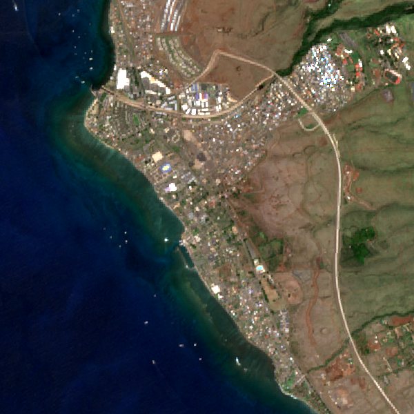
Pictures of the Earth from the Sentinel-2 satellites, which photograph every place on land every few days, and what they measure: how much of a fire burned, how much water is in a reservoir, what has been built since 2018. Every picture names its satellite and its day.
Newest first
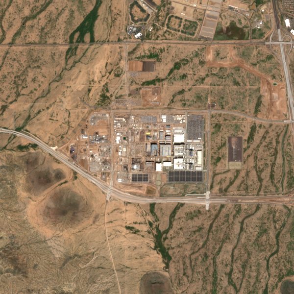 Places of changeTSMC Arizona5% of the picture is new since 2018.Oct 23, 2026
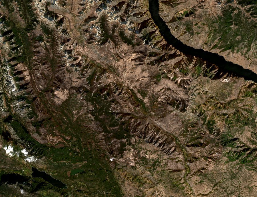
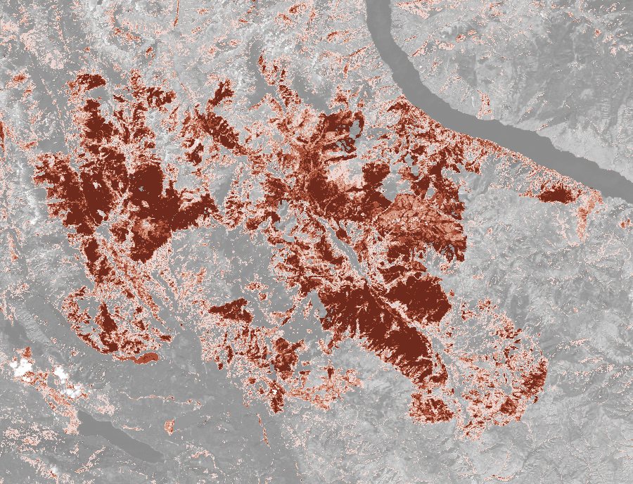 Recent eventsLittle Giant fire, Washington53% of the land inside the perimeter burned moderately or worse.Oct 23, 2026
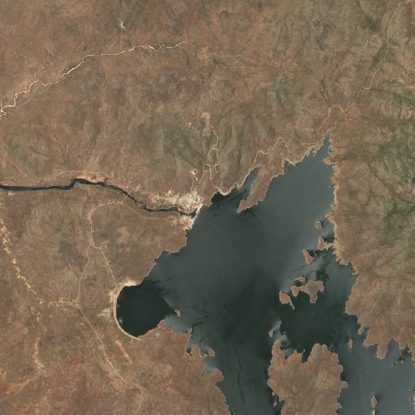
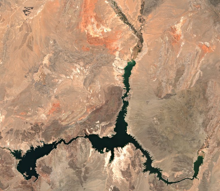 Recent eventsLake Mead243 km² of open water; 4 of the 90 months measured since 2018 had less.Oct 3, 2026
The fires and the water the site already reports, measured again from orbit.
Places where the years since 2018 are plain from space, a picture a year.
Any place on Earth, any two years since 2018: drag between them, switch to vegetation or water, and measure what changed.
The pictures are Copernicus Sentinel-2 surface reflectance (European Union, European Space Agency), read through satellitedata.net. What each number means, and how often each page is refreshed, is on the Sources page.