Satellite / Recent events
Recent events
The fires and the water the site already reports in Right now, as the satellites saw them: how much of each large wildfire actually burned, and how much water is in the big western reservoirs.
7 fires over 40,000 acres this year, measured from space
Fire list: NIFC via wildfiredata.dev, Oct 28, 2026; perimeters: NIFC WFIGS
- Low
- Moderate-low
- Moderate-high
- High
- NIFC's perimeter
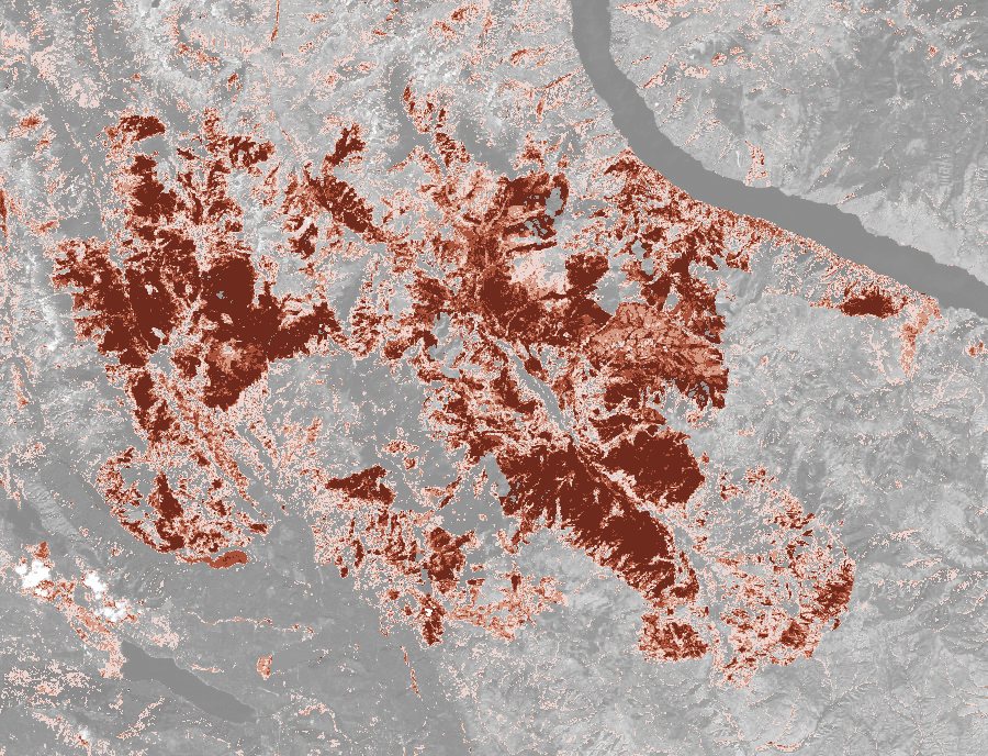
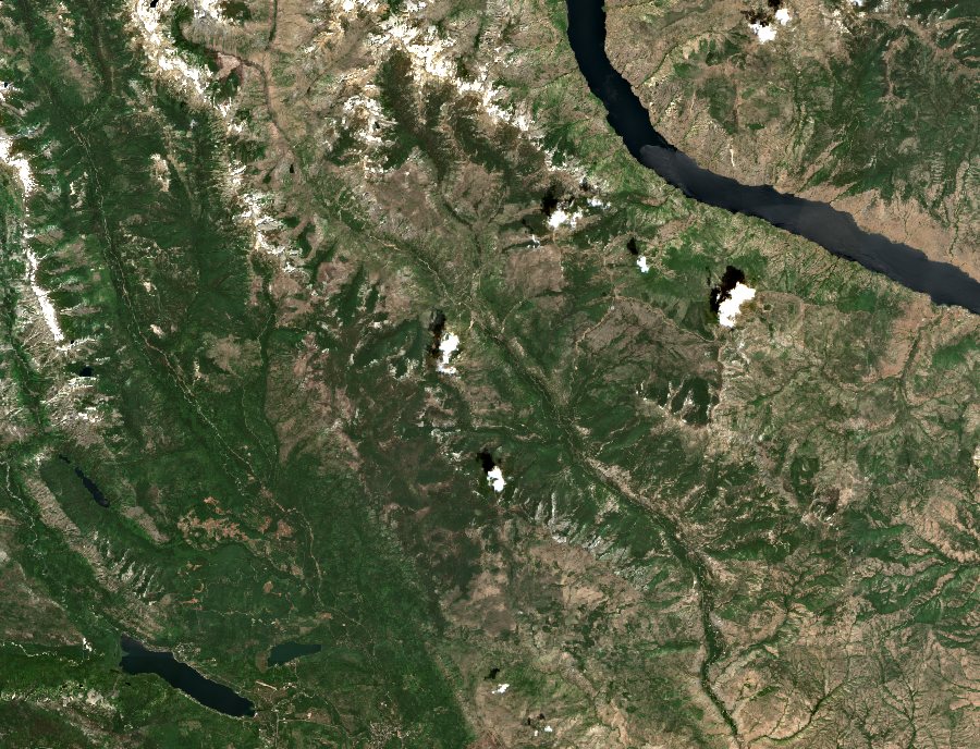
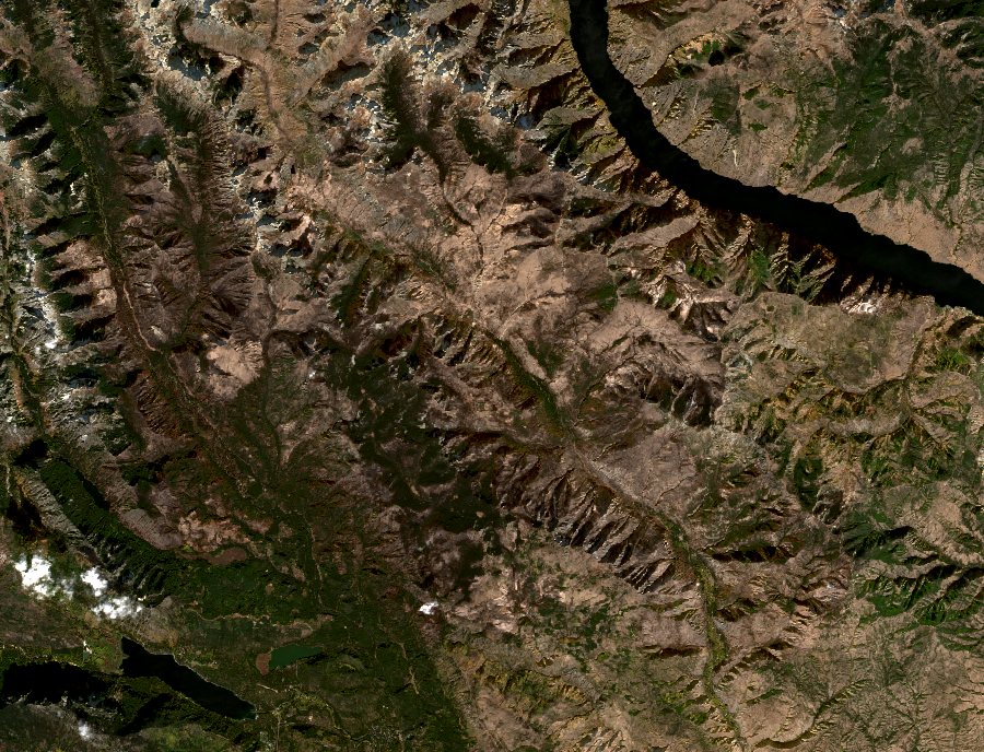
Burned ground in four classes over the after picture in grey; "Before and after" is true colour, drag across it. Contains modified Copernicus Sentinel data 2026.
53% of the land inside the perimeter burned moderately or worse
172,912 acres inside the perimeter
- Chelan County, Washington; found July 16, 2026, 95% contained
- Before: Jul 15, 2026; after: Oct 23, 2026
- 98% of the perimeter was clear land on both days
- Low151 km²
- Moderate-low124 km²
- Moderate-high111 km²
- High163 km²
Burn severity from the change in the normalised burn ratio (dNBR) between the two days, in the U.S. Geological Survey's classes, counted inside NIFC's perimeter. Cloud, shadow, water and snow on either day are left out. The lightest class also catches ordinary late-summer browning, so the headline counts moderate and worse. How it's measured
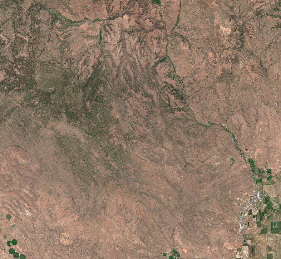
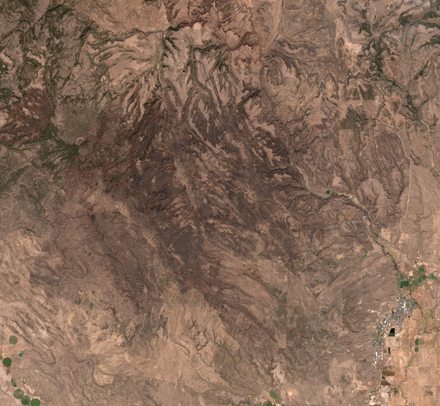
- Low
- Moderate-low
- Moderate-high
- High
- NIFC's perimeter
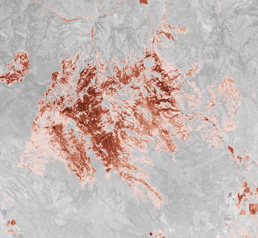
Burned ground in four classes over the after picture in grey; "Before and after" is true colour, drag across it. Contains modified Copernicus Sentinel data 2026.
40% of the land inside the perimeter burned moderately or worse
105,854 acres inside the perimeter
- Harney County, Oregon; found July 24, 2026, 100% contained
- Before: Jul 7, 2026; after: Oct 15, 2026
- 100% of the perimeter was clear land on both days
- Low152 km²
- Moderate-low95 km²
- Moderate-high60 km²
- High18 km²
Burn severity from the change in the normalised burn ratio (dNBR) between the two days, in the U.S. Geological Survey's classes, counted inside NIFC's perimeter. Cloud, shadow, water and snow on either day are left out. The lightest class also catches ordinary late-summer browning, so the headline counts moderate and worse. How it's measured
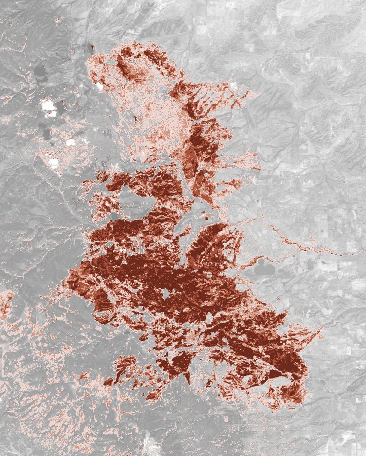
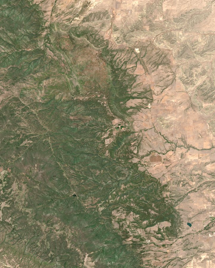
- Low
- Moderate-low
- Moderate-high
- High
- NIFC's perimeter
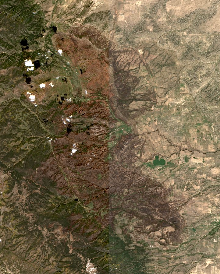
Burned ground in four classes over the after picture in grey; "Before and after" is true colour, drag across it. Contains modified Copernicus Sentinel data 2026.
52% of the land inside the perimeter burned moderately or worse
102,003 acres inside the perimeter
- Custer County, Colorado; found June 29, 2026, 94% contained
- Before: Jun 16, 2026; after: Oct 9, 2026
- 100% of the perimeter was clear land on both days
- Low90 km²
- Moderate-low71 km²
- Moderate-high75 km²
- High78 km²
Burn severity from the change in the normalised burn ratio (dNBR) between the two days, in the U.S. Geological Survey's classes, counted inside NIFC's perimeter. Cloud, shadow, water and snow on either day are left out. The lightest class also catches ordinary late-summer browning, so the headline counts moderate and worse. How it's measured
- Low
- Moderate-low
- Moderate-high
- High
- NIFC's perimeter
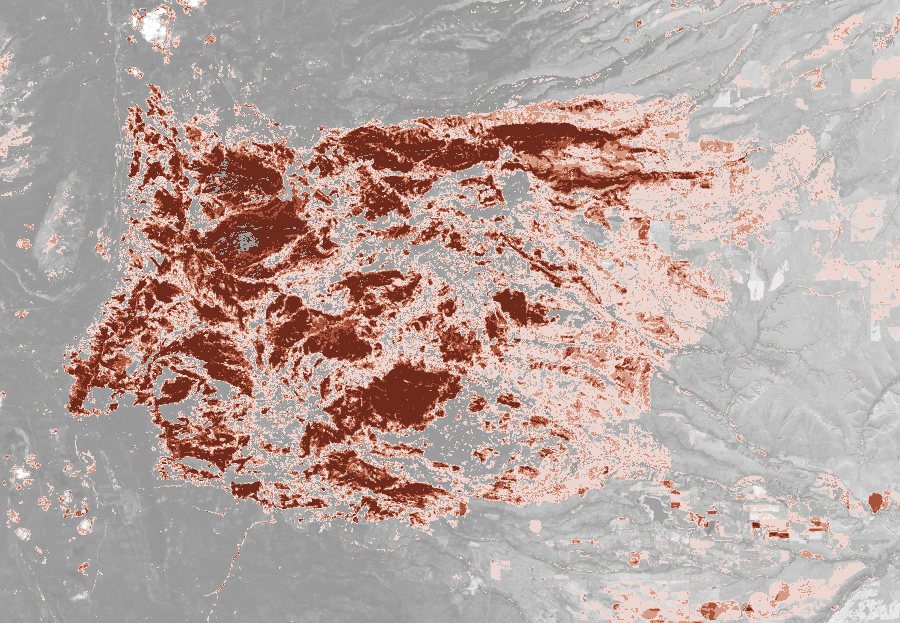
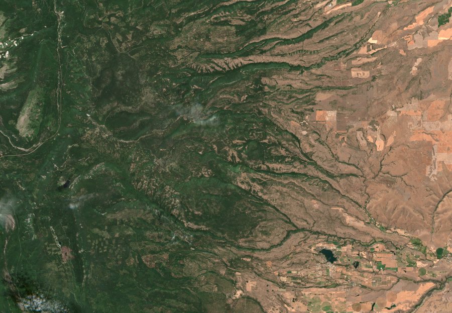
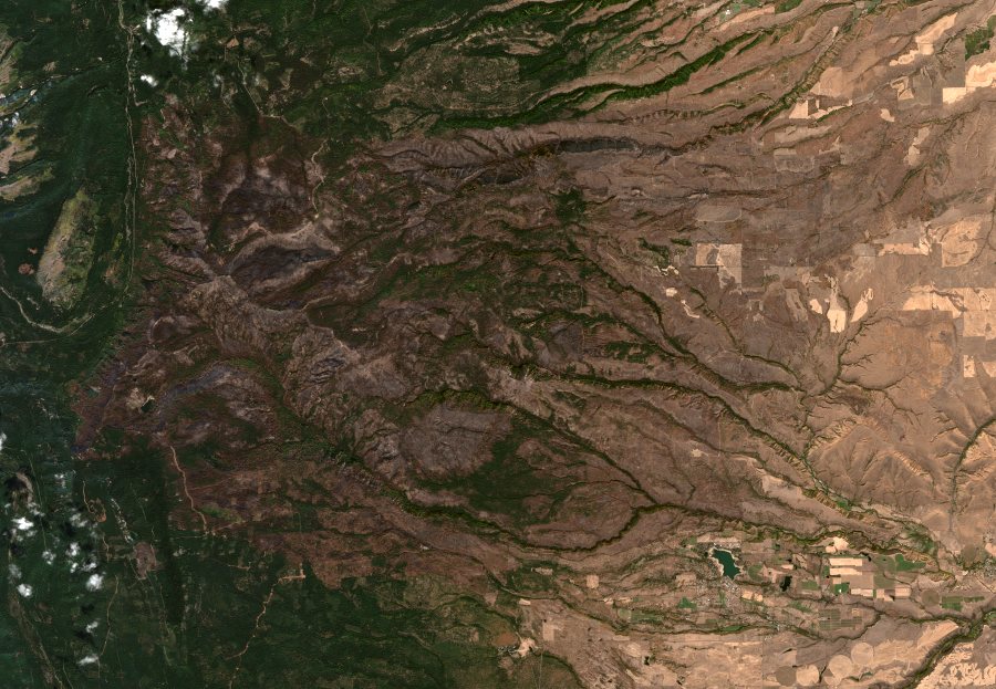
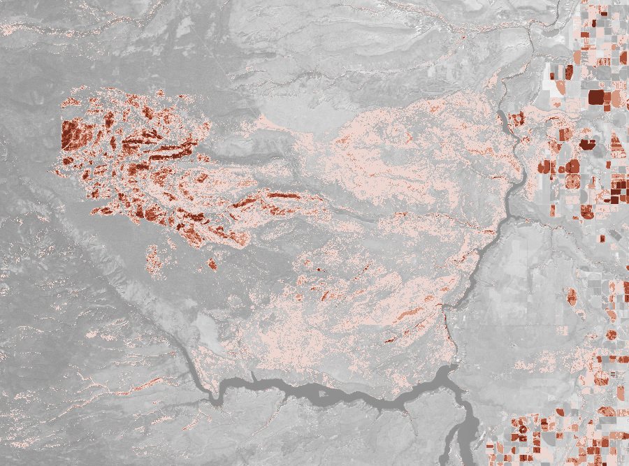
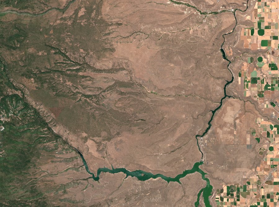
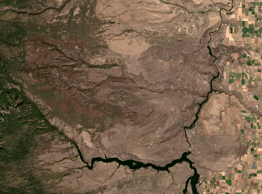
Burned ground in four classes over the after picture in grey; "Before and after" is true colour, drag across it. Contains modified Copernicus Sentinel data 2026.
46% of the land inside the perimeter burned moderately or worse
93,971 acres inside the perimeter
- Wasco County, Oregon; found July 24, 2026, 98% contained
- Before: Jul 15, 2026; after: Oct 23, 2026
- 100% of the perimeter was clear land on both days
- Low126 km²
- Moderate-low63 km²
- Moderate-high45 km²
- High70 km²
Burn severity from the change in the normalised burn ratio (dNBR) between the two days, in the U.S. Geological Survey's classes, counted inside NIFC's perimeter. Cloud, shadow, water and snow on either day are left out. The lightest class also catches ordinary late-summer browning, so the headline counts moderate and worse. How it's measured
- Low
- Moderate-low
- Moderate-high
- High
- NIFC's perimeter
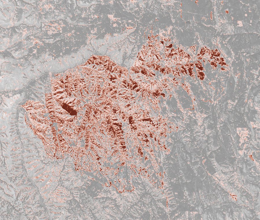
Burned ground in four classes over the after picture in grey; "Before and after" is true colour, drag across it. Contains modified Copernicus Sentinel data 2026.
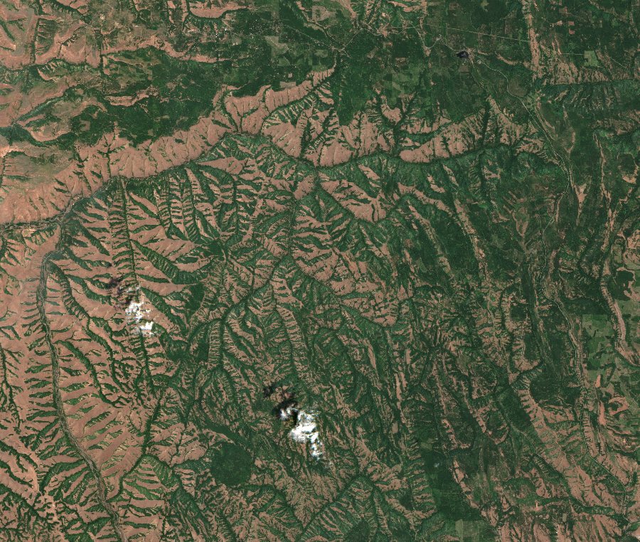
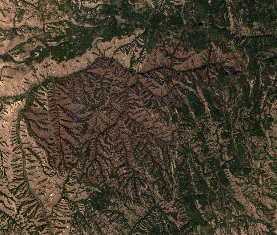
9% of the land inside the perimeter burned moderately or worse
67,071 acres inside the perimeter
- Jefferson County, Oregon; found July 23, 2026, 90% contained
- Before: Jul 10, 2026; after: Oct 23, 2026
- 99% of the perimeter was clear land on both days
- Low98 km²
- Moderate-low15 km²
- Moderate-high8 km²
- High3 km²
Burn severity from the change in the normalised burn ratio (dNBR) between the two days, in the U.S. Geological Survey's classes, counted inside NIFC's perimeter. Cloud, shadow, water and snow on either day are left out. The lightest class also catches ordinary late-summer browning, so the headline counts moderate and worse. How it's measured
- Low
- Moderate-low
- Moderate-high
- High
- NIFC's perimeter
Burned ground in four classes over the after picture in grey; "Before and after" is true colour, drag across it. Contains modified Copernicus Sentinel data 2026.
40% of the land inside the perimeter burned moderately or worse
61,380 acres inside the perimeter
- Umatilla County, Oregon; found July 16, 2026, 99% contained
- Before: Jul 7, 2026; after: Oct 15, 2026
- 99% of the perimeter was clear land on both days
- Low84 km²
- Moderate-low55 km²
- Moderate-high34 km²
- High18 km²
Burn severity from the change in the normalised burn ratio (dNBR) between the two days, in the U.S. Geological Survey's classes, counted inside NIFC's perimeter. Cloud, shadow, water and snow on either day are left out. The lightest class also catches ordinary late-summer browning, so the headline counts moderate and worse. How it's measured
- Low
- Moderate-low
- Moderate-high
- High
- NIFC's perimeter
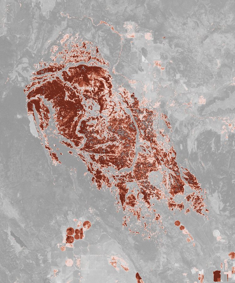
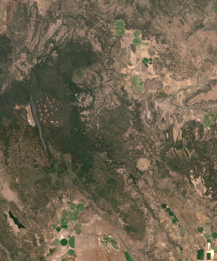
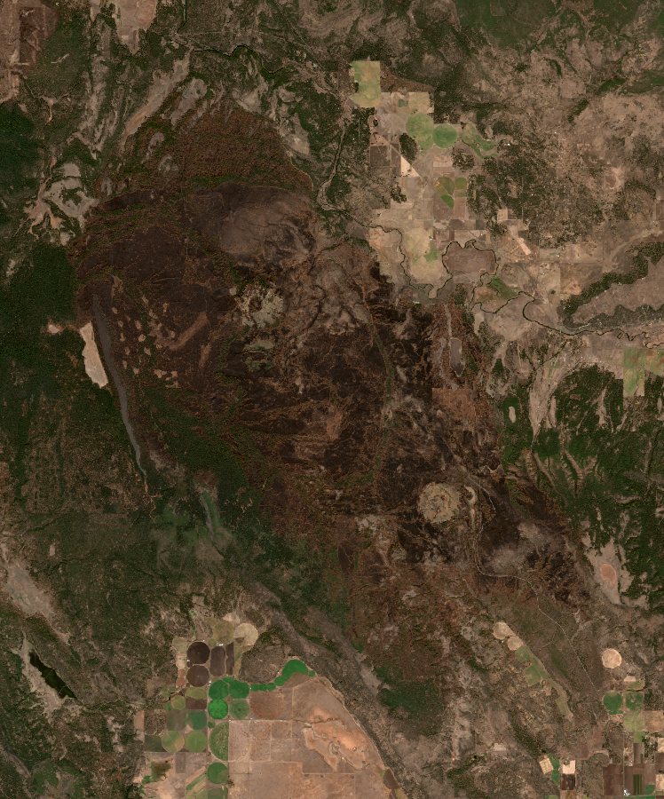
Burned ground in four classes over the after picture in grey; "Before and after" is true colour, drag across it. Contains modified Copernicus Sentinel data 2026.
46% of the land inside the perimeter burned moderately or worse
55,134 acres inside the perimeter
- Klamath County, Oregon; found August 5, 2026, 100% contained
- Before: Aug 4, 2026; after: Oct 23, 2026
- 98% of the perimeter was clear land on both days
- Low38 km²
- Moderate-low28 km²
- Moderate-high31 km²
- High47 km²
Burn severity from the change in the normalised burn ratio (dNBR) between the two days, in the U.S. Geological Survey's classes, counted inside NIFC's perimeter. Cloud, shadow, water and snow on either day are left out. The lightest class also catches ordinary late-summer browning, so the headline counts moderate and worse. How it's measured
| Fire | Acres | Burned moderately or worse | |
|---|---|---|---|
| Little GiantChelan County, Washington | 172,912 | 53% |
| Second FlatHarney County, Oregon | 105,854 | 40% |
| Aspen AcresCuster County, Colorado | 102,003 | 52% |
| GrasshopperWasco County, Oregon | 93,971 | 46% |
| BenchJefferson County, Oregon | 67,071 | 9% |
| HagenUmatilla County, Oregon | 61,380 | 40% |
| Wrights SpringKlamath County, Oregon | 55,134 | 46% |
Not measured: Ferris (64,881 acres): no perimeter in NIFC's year-to-date perimeters.
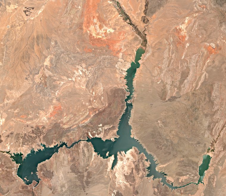
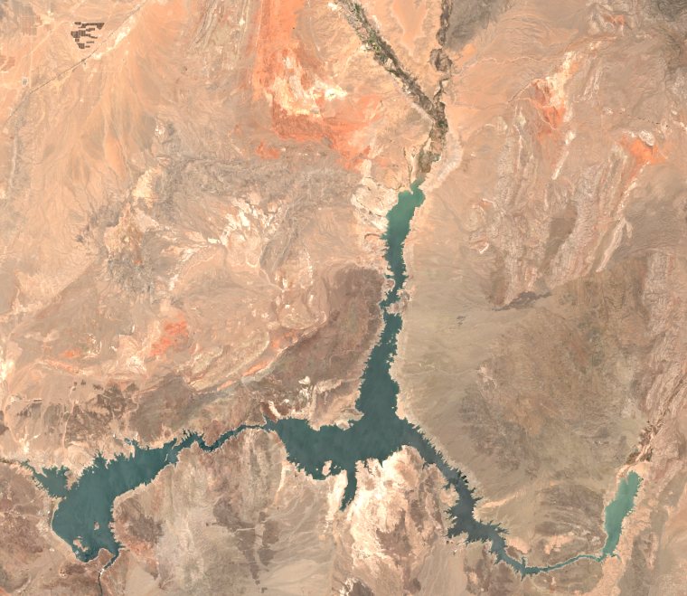
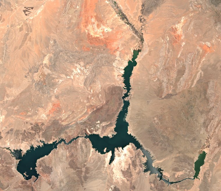
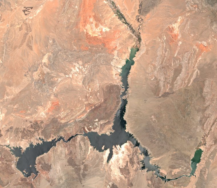
Reservoirs
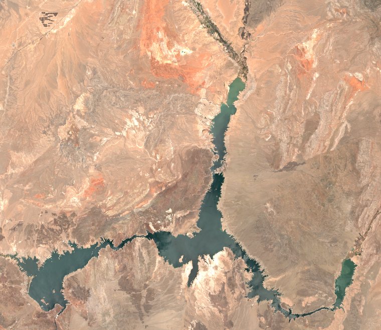
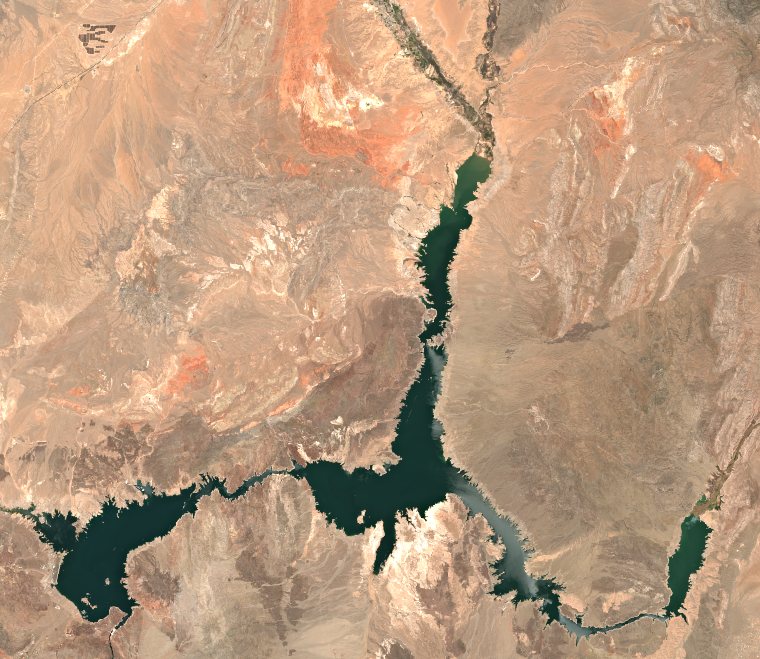
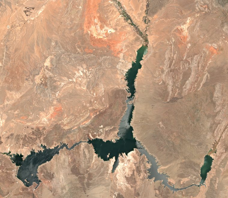
Open water on one clear day each month since 2018
- A clear month
90 clear months since January 2018; months with no clear day are gaps. 2022 comes from the original Sentinel-2 archive.
Jun 30
Jul 10
Jun 14
Jul 14
Jul 4
Jul 14
Jun 8
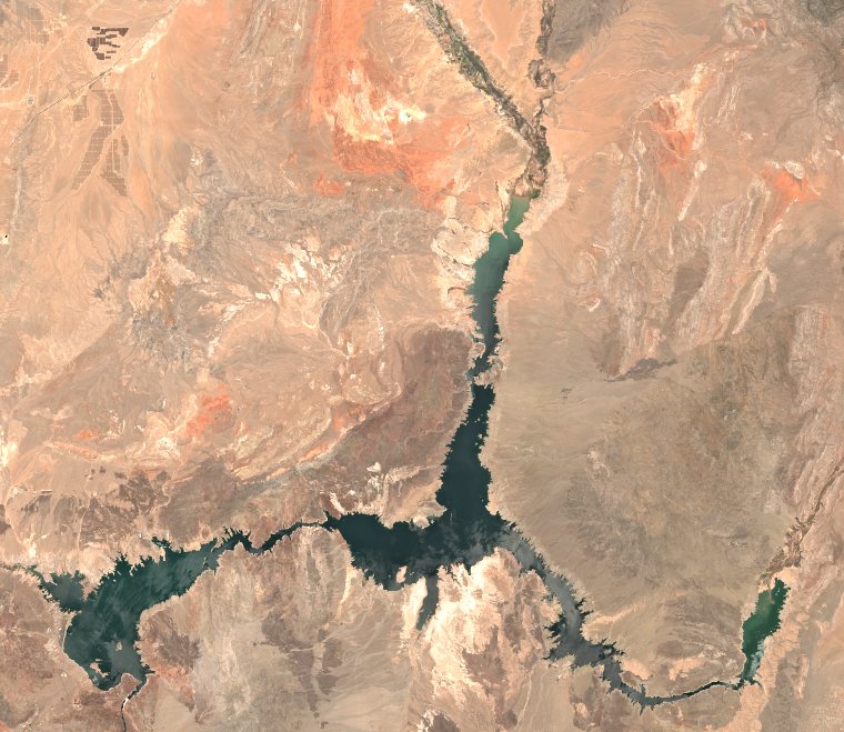
Jun 28
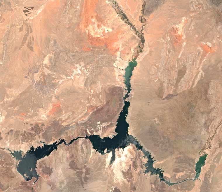
Jul 8
- A clear month
69 clear months since January 2018; months with no clear day are gaps. 2022 comes from the original Sentinel-2 archive. Only March to October: in winter the canyon walls shade much of the water, which then stops reading as water.
- A clear month
- Doubtful: a lone dip or spike, left out of the line (3)
98 clear months since January 2018; months with no clear day are gaps. 2022 comes from the original Sentinel-2 archive.
- A clear month
- Doubtful: a lone dip or spike, left out of the line (2)
94 clear months since January 2018; months with no clear day are gaps. 2022 comes from the original Sentinel-2 archive.